big sur marathon elevation: what the profile actually means for your race
 By PaceKit Team · Updated April 2026 · 2 min read
The Big Sur Marathon gains 2,188 feet and loses 2,476 feet over 26.2 miles, finishing 288 feet lower than it starts. That net drop sounds gentle. It is not.
Most elevation profiles you'll find online show a big spike at Hurricane Point and not much else. That's misleading. The course has six named climbs, dozens of rollers, and a punishing distribution that puts significant climbing after mile 18. Here's what the profile actually looks like when you break it into the sections that matter.
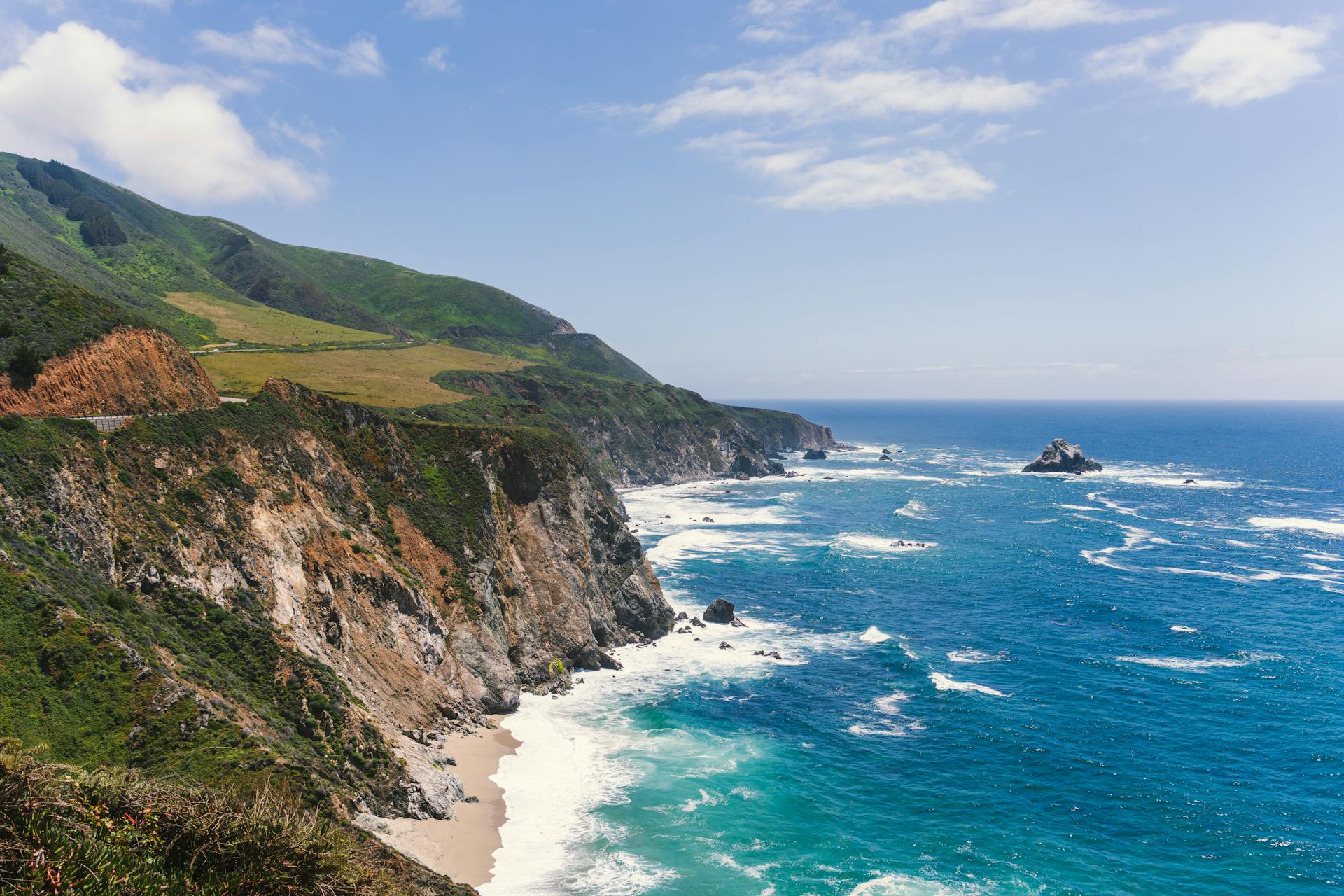
miles 0 to 3: the redwoods
You start at 356 feet and drop 120 feet through old-growth redwood forest. The grade is gentle (about 2%), the footing is good, and the air is cold. This is the easiest running on the course and the section most likely to trick you into going out too fast.
miles 3 to 5: big sur valley
Rolling terrain through meadows as the trees thin out. Net elevation change is minimal, but the road starts to undulate. Your first hint of what's coming.
miles 5 to 10: the coastal approach
The Pacific opens up, the shade disappears (5% coverage), and the wind arrives (15 to 25 mph NW). The terrain rolls gently with one exception: Point Sur Hill at mile 8.3, a sharp 79-foot gain over 0.41 miles at 3.68% grade. It's brief but steep enough to notice. Importantly, there's only one aid station in this entire 5-mile stretch (mile 7.8), and then a 3-mile gap before the next one at 10.4.
miles 10 to 12.2: hurricane point
This is the number everyone talks about: 513 feet of gain over 2.15 miles at a 4.52% average grade. The course high point sits at 563 feet. For scale, that's a 50-story building, into the wind. The Google Elevation API actually underreports this climb by about 23% (showing 397 feet instead of 513), so if you've seen a gentler-looking profile somewhere, that's likely why.
miles 12 to 14: the bixby descent
298 feet of loss at a 5.5% grade. This is where the pianist sits, 260 feet above the canyon floor. It feels incredible. Resist the urge to pound the downhill. Your quads will pay for it later if you do.
miles 14 to 17: the rolling coastline
Seven climbs and five descents in three miles. None of them are massive individually, but they never stop. Rocky Creek Roller at mile 15.2 (92 feet, 4.21% grade) is the most notable. This is where the elevation profile stops looking like a mountain and starts looking like a saw blade.
miles 17 to 21: the isolation
The profile suggests this section is relatively flat. It isn't. There are constant small rollers, including the Garrapata Climb at mile 19.6 (49 feet, 4.46% grade). What makes this section brutal isn't any single hill. It's the combination of rolling terrain, 8% shade, direct NW headwind, and complete isolation.
miles 21 to 24: carmel highlands
The two steepest grades on the entire course live here. The Carmel Highlands Kicker at mile 22 hits 5.59%, and it arrives at exactly the wrong time. There's also a 117-foot descent at 5.39% right after, which sounds like relief but hammers already-destroyed quads.
miles 24 to 26.2: the finish
D-Minor Hill at mile 25. 84 feet of gain at 5.12% grade. The cruelest hill on the course, positioned with surgical precision at the one point where you have absolutely nothing left. After D-Minor, the course drops into Carmel and you're done.
The overall takeaway: the elevation profile makes it look like Hurricane Point is the challenge and everything else is manageable. In practice, the course is relentlessly rolling for the entire second half, and the steepest grades come after mile 22. If you train for one big climb, you've trained for the wrong race.