Flat, shaded, and fast through the suburbs north of Indianapolis. Carmel has more roundabouts than any other city in America, and a course that will reward anyone who doesn't blow the first two miles.
This breakdown is based on detailed course mapping, historical race conditions, and real runner feedback from past years.
You signed up for Carmel because you want to run a good marathon. Not a destination race, not a bucket-list experience, not a suffer-fest in the mountains. A well-organized, flat, shaded loop through a clean midwestern suburb where the conditions are in your favor and a good time is genuinely achievable. That's the right reason. Carmel delivers exactly that, with one honest caveat.
The course loops through nine sections of Carmel, Indiana, starting and finishing at the Palladium in the Arts and Design District. It runs east through the commercial corridor, turns north toward Cool Creek Park, climbs gently through the shaded Springmill Road neighborhoods, crosses through Central Park near halfway, and then pushes west through the longest sustained climbing block on the course before descending home. 499 feet of total ascent across 26.2 miles. Net flat. The Monon Trail, a multi-use path converted from a historic railroad corridor, carries you through some of the quieter stretches.
One honest thing before April 18. Difficulty 2/5 does not mean this course asks nothing of you. The opening miles are genuinely fast and the adrenaline is real, and runners who treat the early downhill as an invitation to bank time pay for it specifically between miles 19 and 22, where the only meaningful climbing on the course arrives with depleted legs and minimal crowd support. The course helps runners who run it correctly. It is also entirely capable of catching runners who don't.
By terrain, exposure, and how effort changes across the race.
The race starts at 8:10am in front of the Palladium, a performing arts center that anchors Carmel's Arts and Design District. The crowd is the biggest it will be all day. The road drops immediately, from 839 feet at the start to around 777 feet by mile 3, with grades touching -3.4% in the opening stretch.
Everything about the first two miles says to go faster. The road tilts downhill, the crowd is loud, the legs are fresh, and the temperature is manageable. Add 12 seconds per mile. When it feels like too much restraint, add 12 seconds per mile. The course bottoms out near mile 4 at 740 feet, the lowest point of the entire day, and then begins a gradual climb that doesn't stop until mile 22.
Aid stations: Mile 1.5, Mile 2.7
The course swings east through Carmel's commercial and residential arterials. Wide roads, manicured medians, 15% shade. The early crowd has thinned. This is the most exposed stretch on the course for both sun and wind. Prevailing southerly wind arrives from the left with no buildings or trees to break it.
The terrain is the flattest it will feel all day, and the pace will reflect that. Stay honest. Run 5 seconds conservative through here and let the legs settle into a rhythm. The climb toward Cool Creek starts at mile 6 and the shade improves significantly when it does.
Aid stations: Mile 3.9, Mile 5.4 (fuel)
The course turns north and the environment changes. Tree canopy closes overhead as you approach Cool Creek Park, 65% shade, filtered morning light, the sound of the creek somewhere off to the side. After the open eastern corridor, this stretch feels like a different race.
The terrain starts climbing here, gradually but consistently, from 749 feet at mile 6 to around 810 feet by mile 9. Grades average 1.4%. On a flat course this is the most significant climbing block before the final push at mile 19. Run it conservatively. The shaded Springmill Road miles are just ahead and that's where you want to be fresh.
Aid stations: Mile 7.3, Mile 8.9
This is the best stretch on the course. Springmill Road and the surrounding residential corridors carry 70% canopy, some of the densest shade you'll find on any road marathon. Quiet streets, early-20th century residential architecture, occasional neighborhood spectators. The course crests near mile 10 at 831 feet, the first high point of the day, then rolls gently through the 11s and 12s.
Run goal pace through here. The terrain is manageable, the conditions are as good as they get, and you are warmed up but not yet carrying the weight of the second half. This is your window.
Aid stations: Mile 10.4 (fuel), Mile 11.7
The halfway point comes at mile 13.1 with an aid station. The course moves through Central Park, an expansive recreation area with water park, athletic fields, and intermittent tree cover. A second wave of spectators often gathers near the park entrance. Use the half-marathon split as information, not celebration.
Miles 14 through 16 are the most runnable section of the second half. The terrain rolls between 810 and 845 feet with no single climb longer than a quarter mile. This is the last opportunity to run goal pace on comfortable legs. The western climbing block starts at mile 19.
Aid stations: Mile 13.1, Mile 15.0 (fuel), Mile 16.5
The course bends back through quieter residential arteries with Founders Park providing a brief open stretch. Crowd support is sparse through here and the miles start to feel longer than they are. The terrain dips slightly after mile 16 before climbing back to 845 feet by miles 18 and 19.
These are not the hard miles. The hard miles are next. The purpose of miles 16 through 19 is to arrive at the western climbing block with composure and controlled effort. Run honestly, not heroically.
Aid stations: Mile 18.0
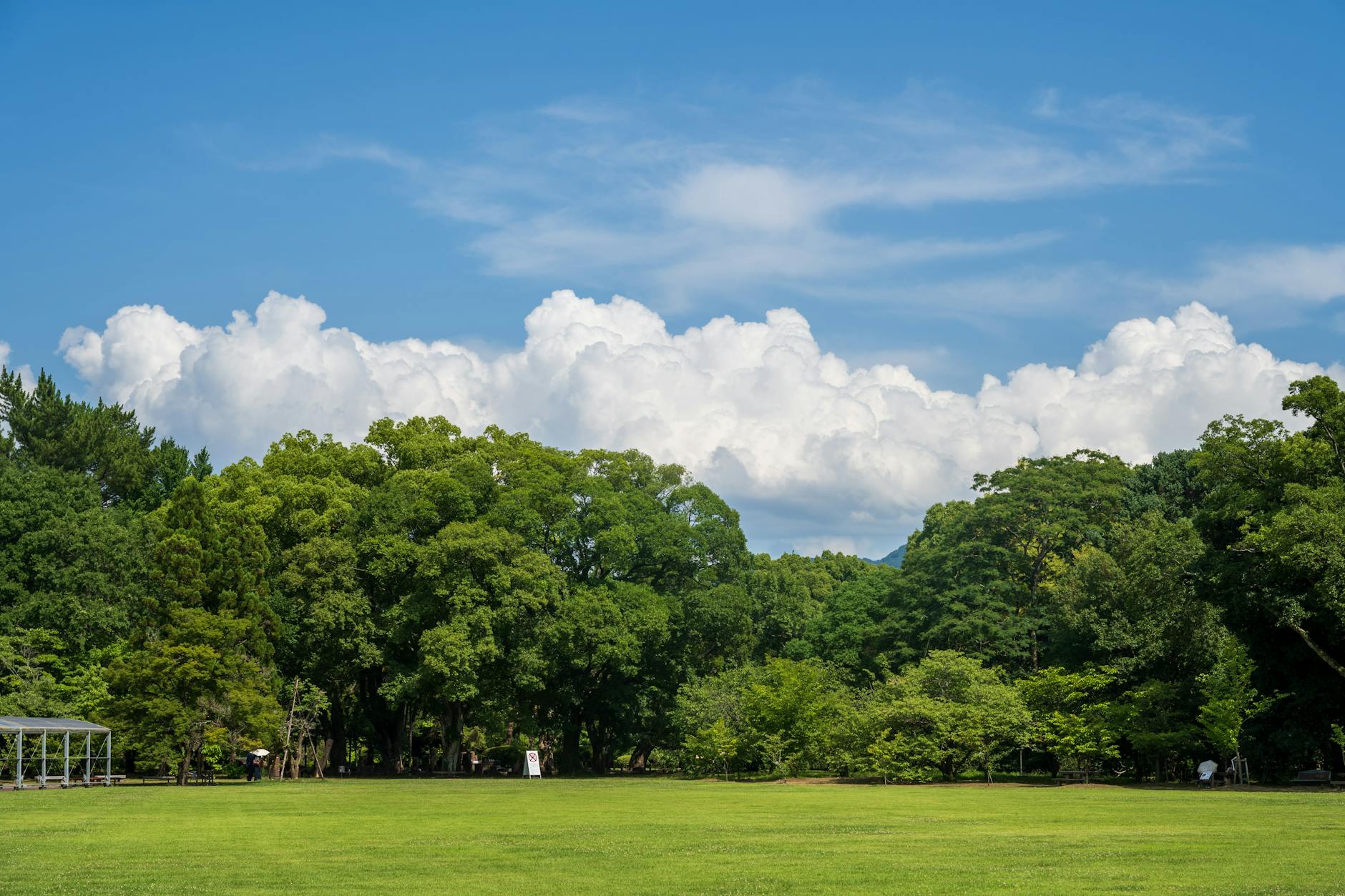
This is where the race happens.
The course climbs from 846 feet to the high point near 870-880 feet through western Carmel, with grades moderate but unrelenting and 20% shade on a road that may now be warm. You are at or near glycogen depletion. The crowd is light. The Monon Trail is ahead but not yet visible.
None of this is dramatic. That's actually what makes it hard. There's no famous climb with a name, no landmark to key off of, no spectator energy to borrow. Just a sustained grind at mile 20 on a course that was mostly flat, arriving when your legs are asking questions about the first three miles.
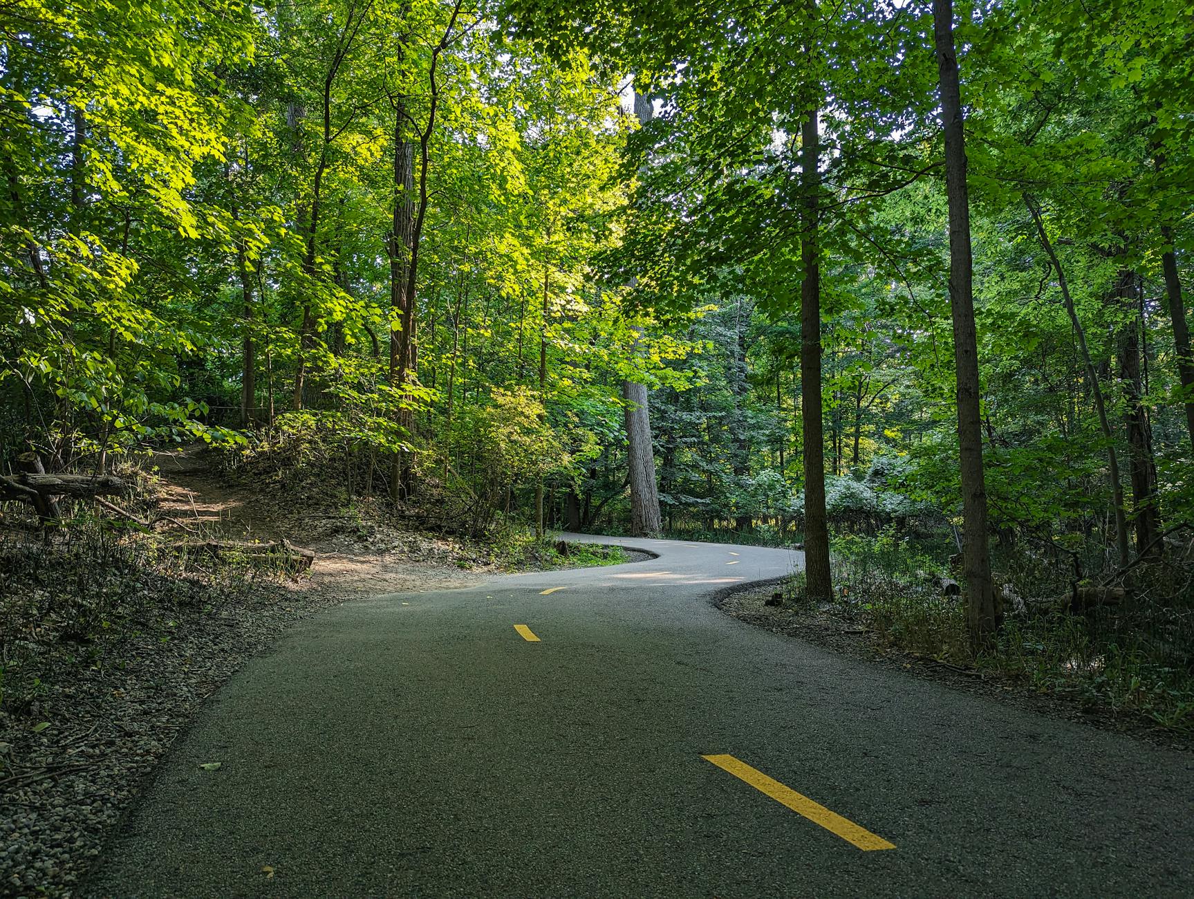
Add 18 seconds per mile through here and treat it as the plan. Hit the fuel station at mile 20.9. Then the terrain tips downhill and the Monon Trail takes you home.
Aid stations: Mile 19.6, Mile 20.9 (fuel), Mile 22.1
The Monon Trail. The historic railroad corridor converted to multi-use path, running north-south through the heart of Carmel. The canopy comes back, 45% shade after the exposure of the climbing miles, and the terrain tips gently downhill toward the city center.
Let the descent help. Don't hammer it. There's a final climb in the closing miles, from about 827 feet back up to 845 feet at the finish, grades around 0.9%. It is small and it will feel bigger than it is. Arrive at mile 24.5 with something for it.
Aid stations: Mile 23.6
The crowd comes back. The Arts and Design District, the Palladium, the same streets where it started. There is a final rise in the closing half-mile, 27 feet at 0.4% grade back up to the finish elevation. After everything else it registers as a formality.
If you ran this correctly, the final two miles feel like what they should feel like on a flat course late in April: hard, controlled, and faster than the miles before them. Leave it here.
Aid stations: Mile 24.8
You don't need to remember all of this on April 18. We give you a voice in your ear that knows what's coming, when the opening downhill is pulling you too fast, what miles 19 through 22 are going to ask for, and how to run the Monon Trail home.
This isn't a generic plan. It's built around this course.
Get your race partnerFree · iPhone + Apple Watch
Carmel is a flat course and it will run like one if you respect what it asks for. The opening downhill, the exposed eastern miles, the quiet push through Cool Creek. All of it is manageable if you're disciplined early. Springmill Road is genuinely good running. Central Park is a clean halfway marker. The course is fair.
Miles 19 through 22 are the only place where it gets honest with you. No dramatic landmark, no famous hill, just a sustained grind at the worst possible time on the most exposed stretch of the course. That block catches the runners who treated the opening downhill as an invitation. It doesn't catch the ones who added 12 seconds per mile and meant it.
Run the first three miles like someone who has been here before. Use Springmill Road well. Get to mile 19 with something in reserve. Do that and the Monon Trail home feels like the finish it's supposed to be.
You don't need to remember all of this on race day. We give you a voice in your ear that knows what's coming, when to hold back on the opening downhill, when to push through Springmill, and what to do when miles 19 through 22 arrive.
Eric's a good fit here. Data-driven, specific, and exactly the kind of voice you want when mile 20 of a flat course requires discipline and you need someone keeping your splits honest rather than just cheering.
This isn't a generic plan. It's built around this course.
Get your race partnerFree · iPhone + Apple Watch